Python packages for geospatial data
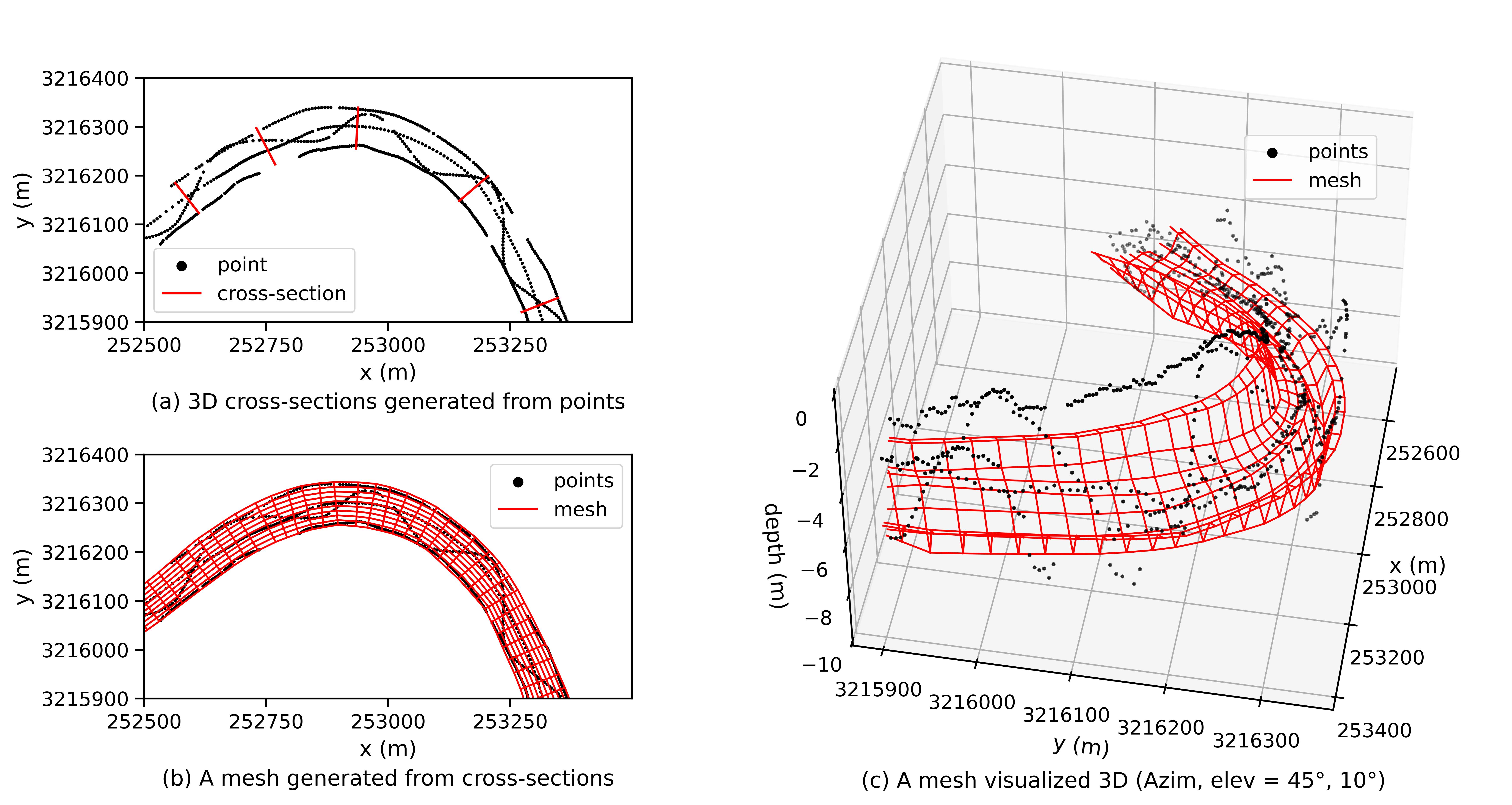
Riverine topography (bathymetry) is usually measured by boat-mounted ecosounders. The survey path could be irregular in practice. A Python package is designed to automatically detect the proper location for cross-sections and interpolation to create a dense mesh. Another Python package is developed to merge the land topography and river bathymetry to form comprehensive topobathy, which is critical for flooding simulation and watershed management.
GitHub repositories
cstools: https://github.com/cyliang368/cstools
rastertools: https://github.com/cyliang368/rastertools
 Figure 1 Apply cstools to create dense mesh of riverbed surface from irregulare survey data.
 Figure 2 Apply rastertools to merge land topography and river bathymetry.
